Published 3 August 2017
Buckie Got It, St. Kitts and Nevis News
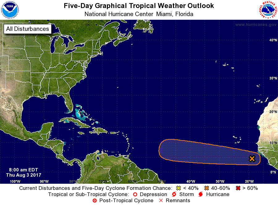
Tropical Weather Outlook
NWS National Hurricane Center Miami FL
200 PM EDT Thu Aug 3 2017
For the North Atlantic…Caribbean Sea and the Gulf of Mexico:
1. 70% Chance of Cyclone Formation in 5 Days:
A vigorous tropical wave accompanied by a broad low pressure system is producing a large area of cloudiness and showers more than 300 miles south-southeast of the Cabo Verde Islands. Environmental conditions are forecast to be conducive for gradual development, and a tropical depression is likely to form by early next week over the eastern or central tropical Atlantic Ocean. This system is forecast to move toward the west or west-northwest at 10 to 15 mph for the next several days.
* Formation chance through 48 hours…low…30 percent.
* Formation chance through 5 days…high…70 percent.
2. 20% Chance of Cyclone Formation in 5 Days:
A strong tropical wave located over the southeastern Caribbean Sea is producing a large area of cloudiness and thunderstorms, along with tropical-storm-force wind gusts in squalls. Environmental conditions are expected to become a little more conducive for development by Sunday over the northwestern Caribbean Sea and by early next week over the Bay of Campeche while the disturbance moves westward or west-northwestward at 15 to 20 mph. This system could produce brief heavy rainfall and gusty winds over Aruba, Bonaire, and Curacao tonight and Friday. For additional information on this system, see High Seas Forecasts issued by the National Weather Service.
* Formation chance through 48 hours…low…10 percent.
* Formation chance through 5 days…low…20 percent.
High Seas Forecasts issued by the National Weather Service can be
found under AWIPS header NFDHSFAT1, WMO header FZNT01 KWBC, and
on the Web at http://www.opc.ncep.noaa.gov/shtml/NFDHSFAT1.shtml.
Forecaster Stewart